Skip to content
Log in
Register
"Maps"
1
2
3
Page 1 of 3
Search within
By field
By subject
By exhibition
By recent searches
Share
Select all
Toggle selected
Clear selected
More
Sort
Best match
Date of upload (Most recent first)
Date of upload (Most recent last)
Title (A - Z)
Title (Z - A)
Thumb
Detail
20
50
100
4094
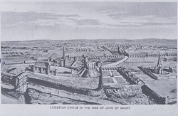
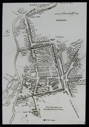
"Leicester in time of John o' Gaunt"- 14th Century Leicester
6617
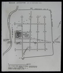
LS1337 - Map of Roman Leicester
6648
LS1343 - Leicestershire Canals
7135
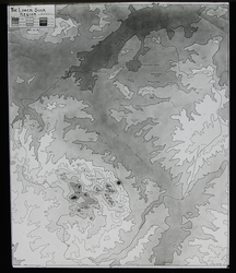
LS2626 Relief Map of the Lower Soar Region
7137
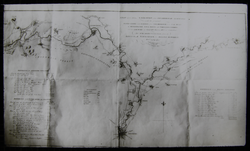
Stukeley's Map Of Leicester, 1722
7149
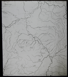
LS2629 Rivers and Drainage Reservoirs
7176
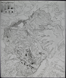
LS2635 Soils and Geology in the Lower Soar Region
7228
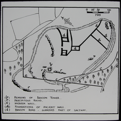
LS2646 Map of Beacon Hill
7249
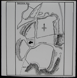
LS2651 Breedon Hill Map
7260
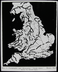
LS2653 Map of Roman Britain
7266
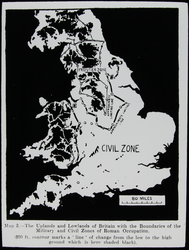
LS2654 Map of Roman Britain
7271
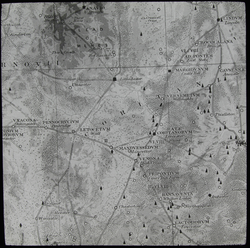
LS2655 Map of Roman Leicestershire
7294
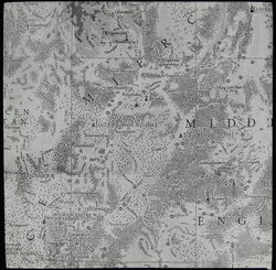
LS2658 Map of Midlands, 410-871AD
7299
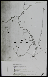
LS2660 Map of Archaeological Finds
7303
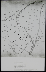
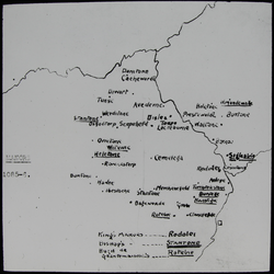
LS2661 Map of Place Names
7308
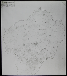
LS2662 Map of the Distribution of Buildings and Woods
7313
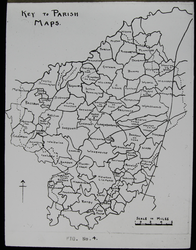
LS2663 Map of Parishes of the Lower Soar Region
7318
LS2664 Map of Manors, Domesday 1085-86
7350
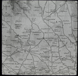
LS2670 Map of the East Midlands
7381
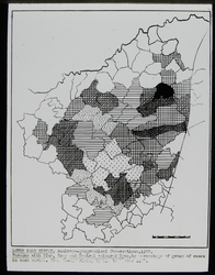
Map of Eye Colours in the Lower Soar Region
1
2
3
Page 1 of 3